
Location: City of Rochester, Monroe County
Size: 2.25 miles
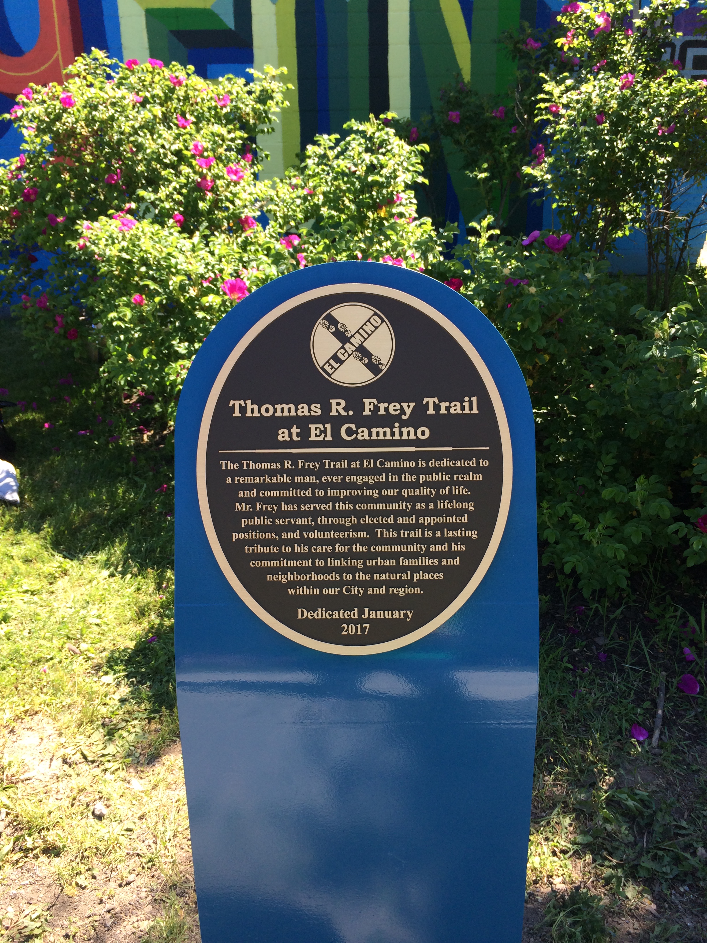
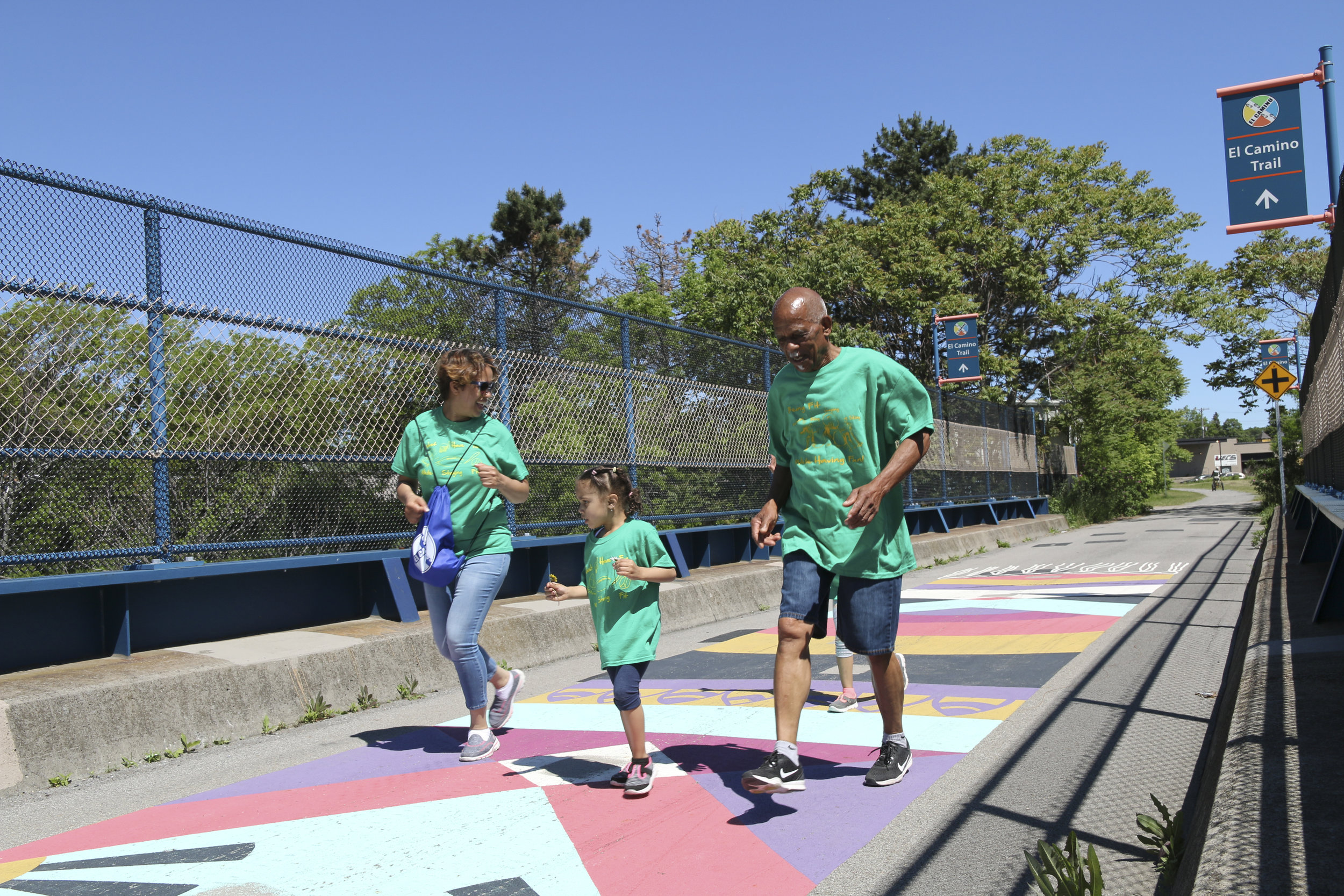
Description: The Thomas R. Frey Trail at El Camino is a trail for hiking and biking that connects the neighborhoods between Collingwood Drive and Scrantom Street, traversing along Conkey Avenue to the Genesee River. The trail provides an off-road connection for residents and visitors, providing easy access to Conkey Corner Park, Seneca Park, the Genesee Riverway Trail, the Avenue D Recreation Center and Buena Vista, an Ibero-American Senior Center. A gap in the trail crosses the Genesee River over a spectacular trestle and connecting into High Falls and the proposed Garden Aerial project. A website, myelcamino.org, showcases the neighborhoods surrounding El Camino and activities happening throughout the year.
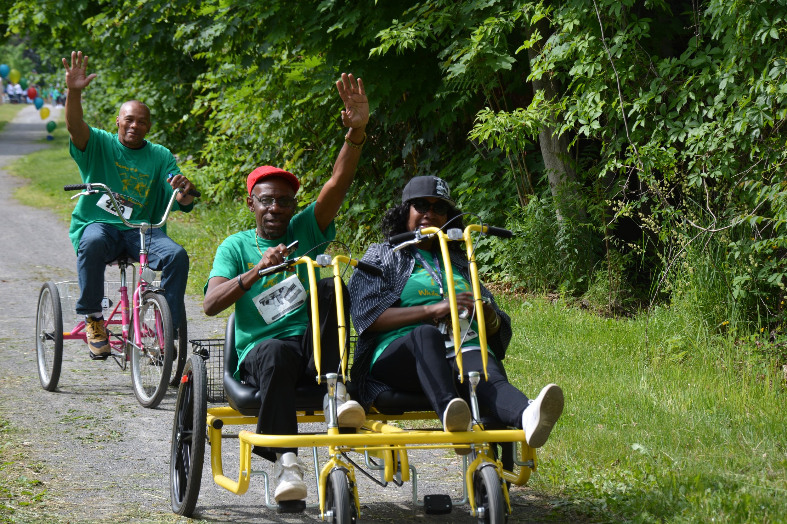
Trail Description: This 2.25-mile (each way) linear stone dust and pavement hiking and bicycling trail runs along the Rochester Running Track’s abandoned railway bed that stretches through various city residential and industrial neighborhoods and Seneca Park.
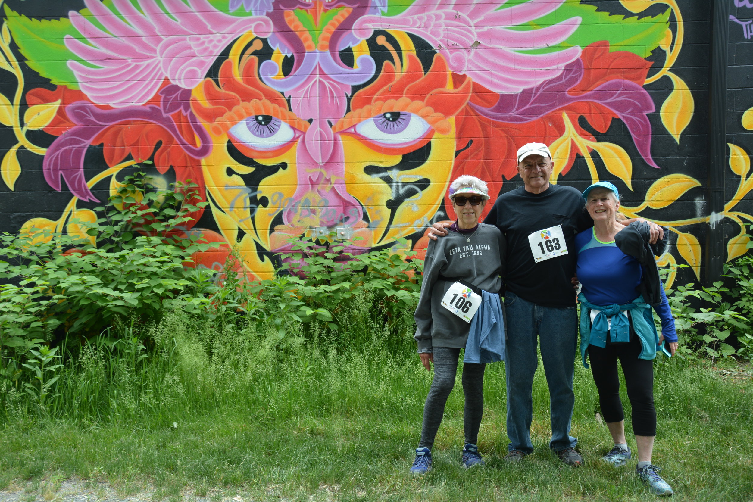
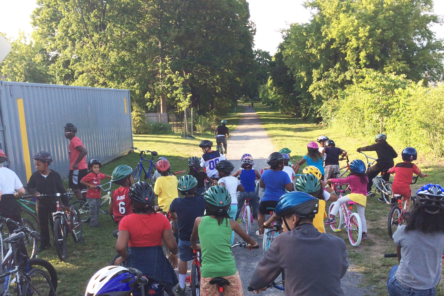
Photos by Lap Chung, Mary Hadley, and Genesee Land Trust staff
History: In 2002, led by board member, Tom Frey, Genesee Land Trust gathered a team of local organizations including Group 14621 and Ibero-American Development Corporation and interested neighbors to develop the concept of a neighborhood trail on the abandoned CSX railroad right-of-way and to encourage the City to pursue its acquisition.
Genesee Land Trust held a series of public input meetings and commissioned a concept study by EDR, funded with grants from Rochester Area Community Foundation, City of Rochester, and Eastman Kodak Company. The concept study provided the basis for a $2 million Transportation Enhancement Project grant from the federal government to the City of Rochester shortly after the City finalized its purchase of the land from CSX in 2006.
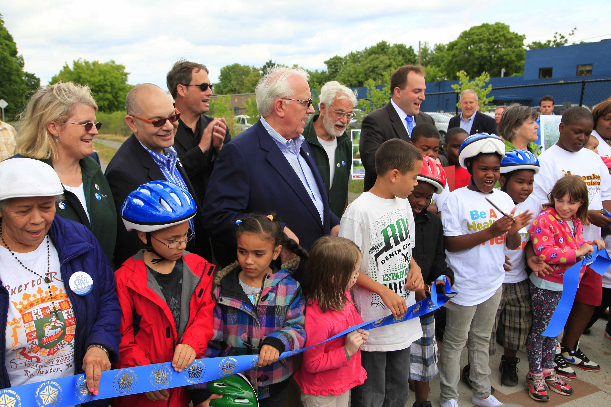
Construction of El Camino was finished in spring of 2012 with a ribbon cutting on National Trails Day.
Getting There
Driving Directions: Park at the entrance to Seneca Park at St. Paul Boulevard; or on Scrantom Street at Conkey Avenue; or near Conkey Corner Park (at Conkey and Clifford Avenue).
GPS Coordinates: 43.196937,-77.617467