Location: Towns of Victor and Farmington, Ontario County
Size: 62 acres VIEW DETAILS

Location: Towns of Victor and Farmington, Ontario County
Size: 62 acres VIEW DETAILS
Location: Town of Greece, Monroe County
Size: 61 acres VIEW DETAILS
Location: Town of Chili, Monroe County
Size: 123 acres
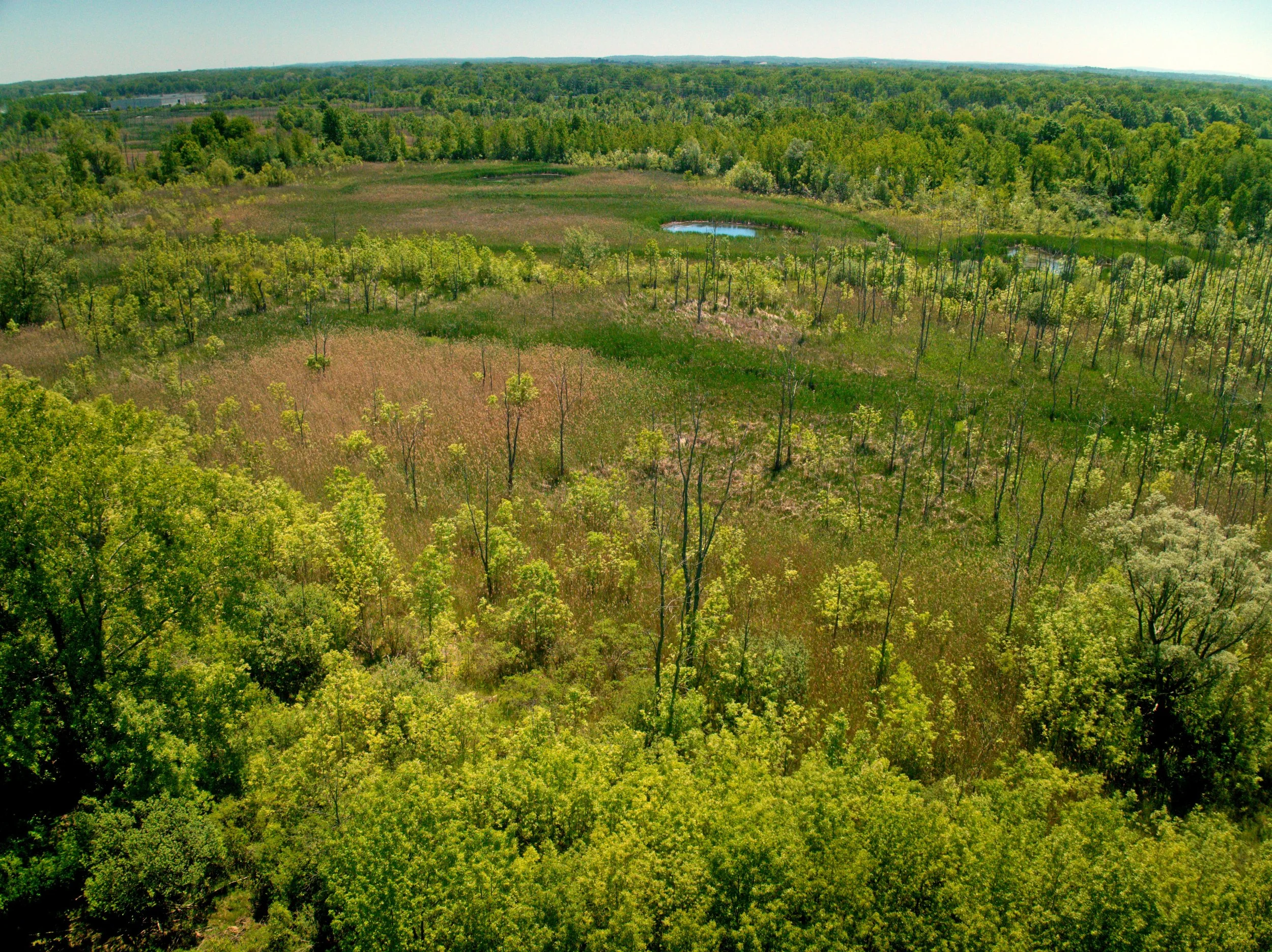
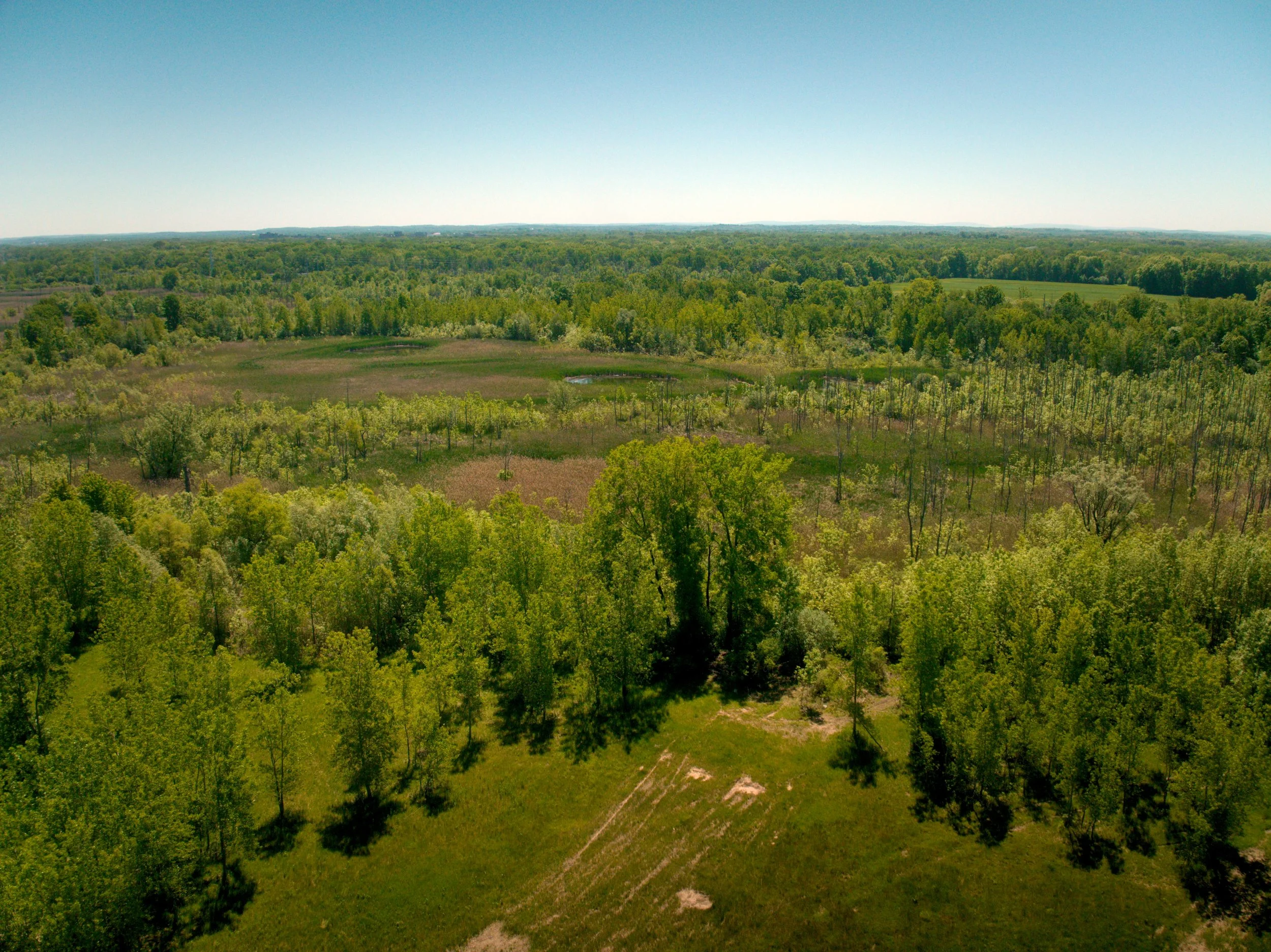
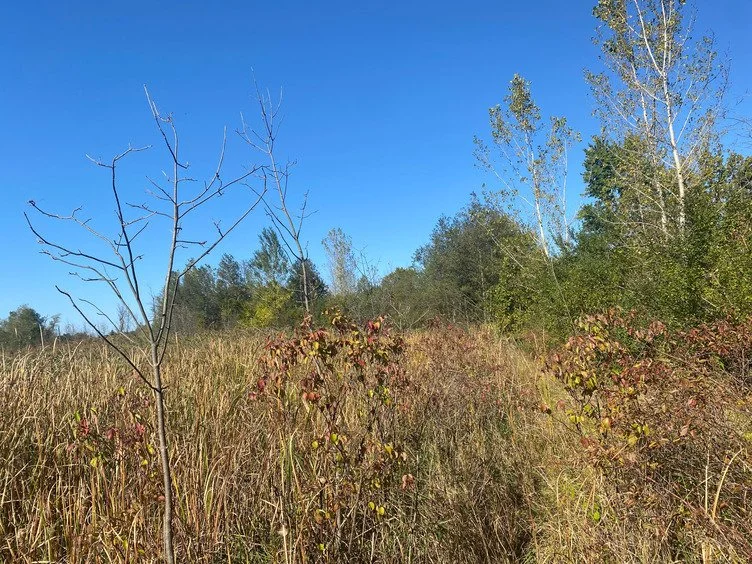
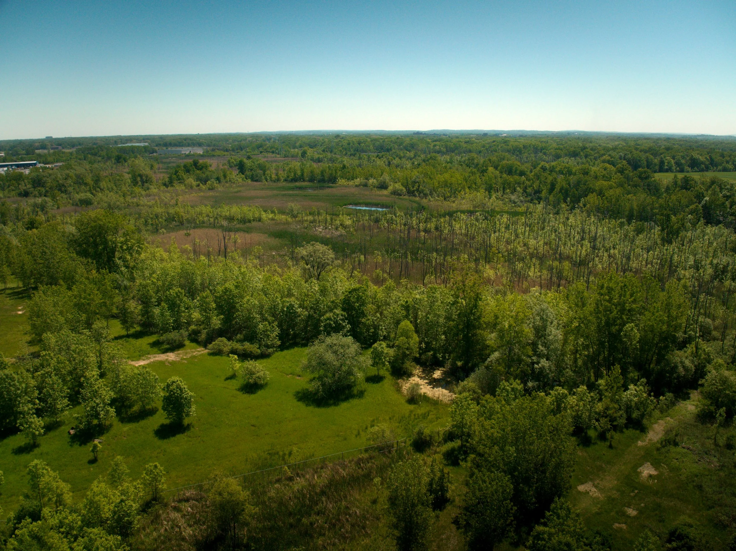
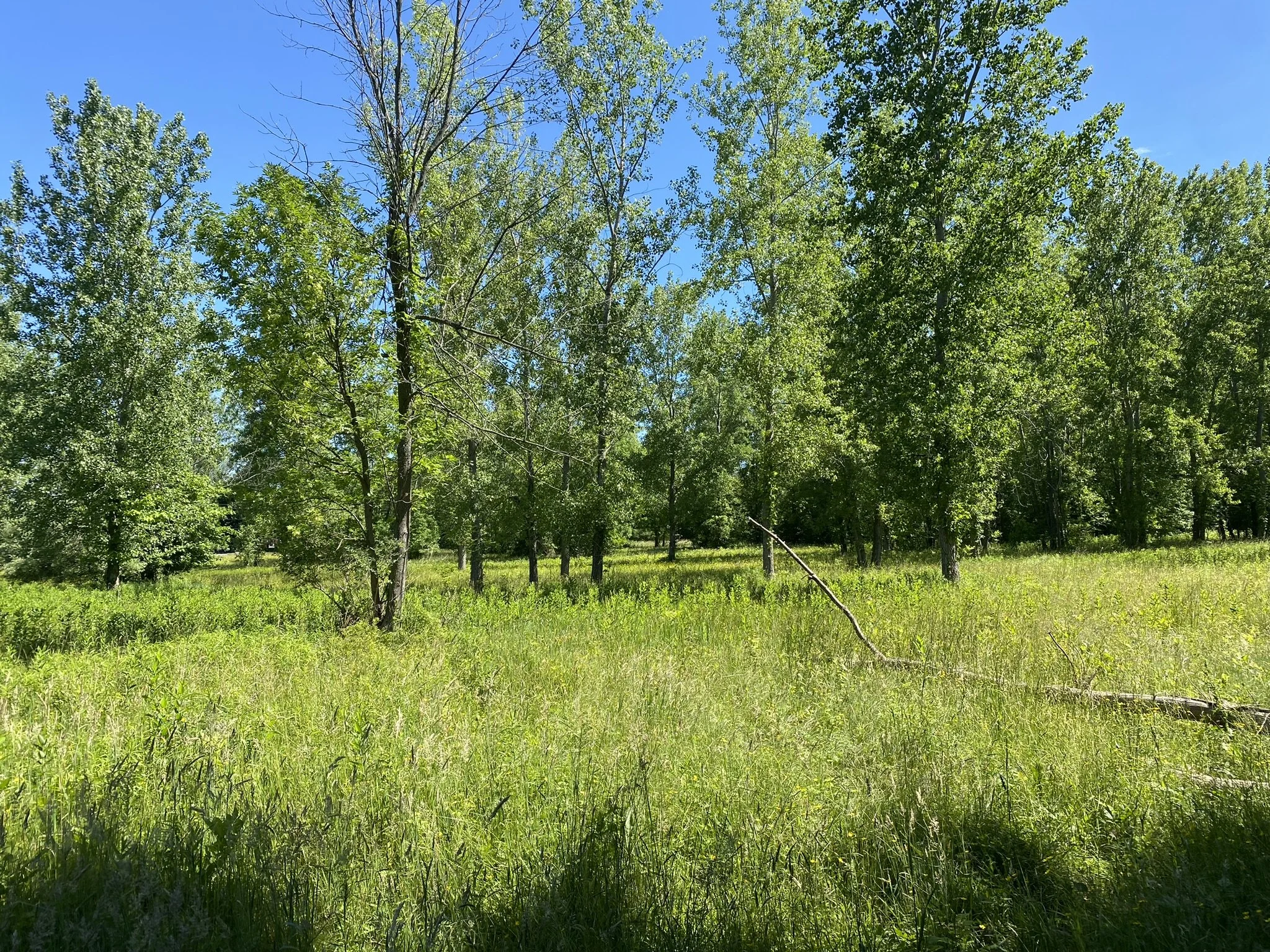
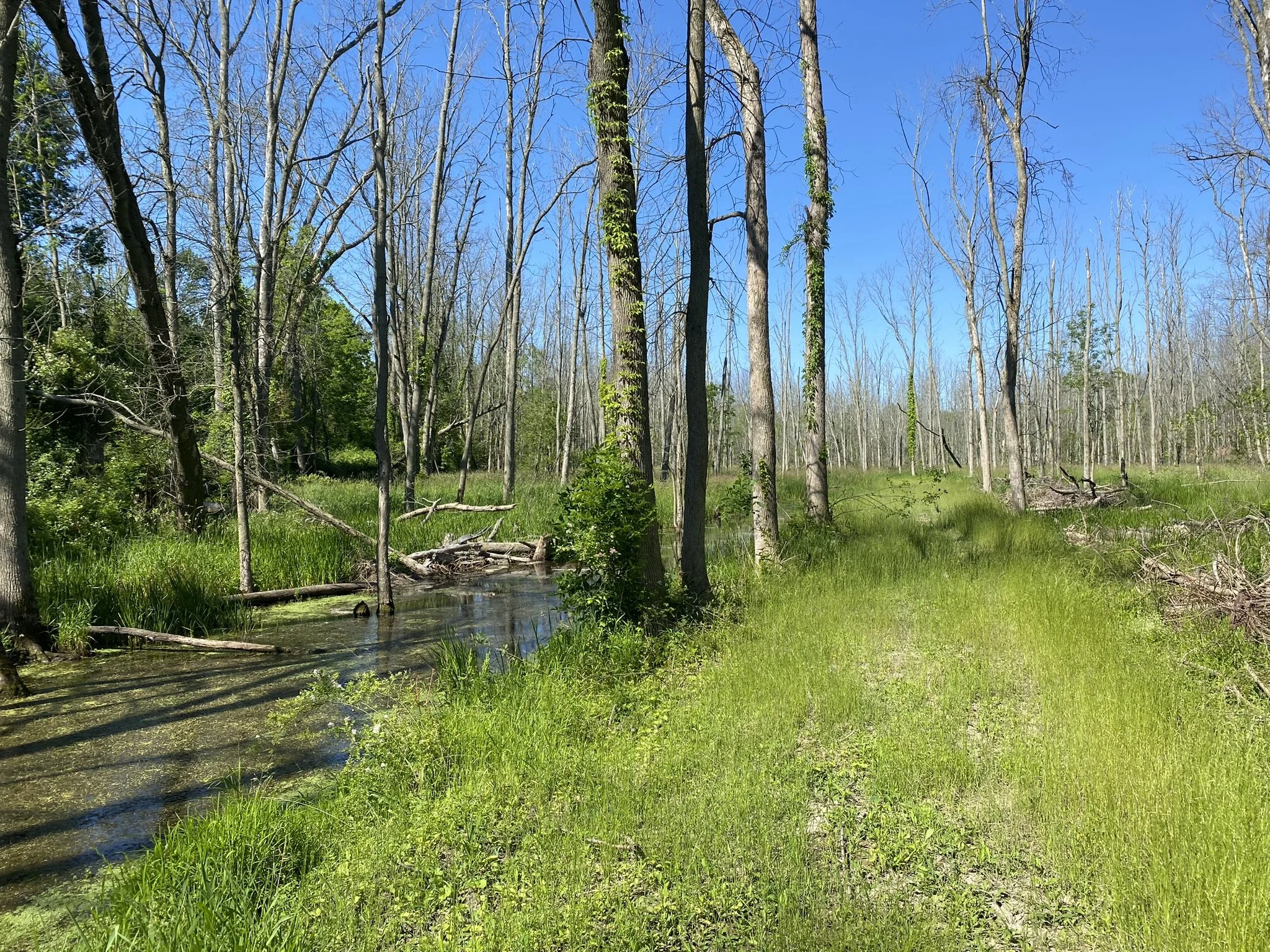
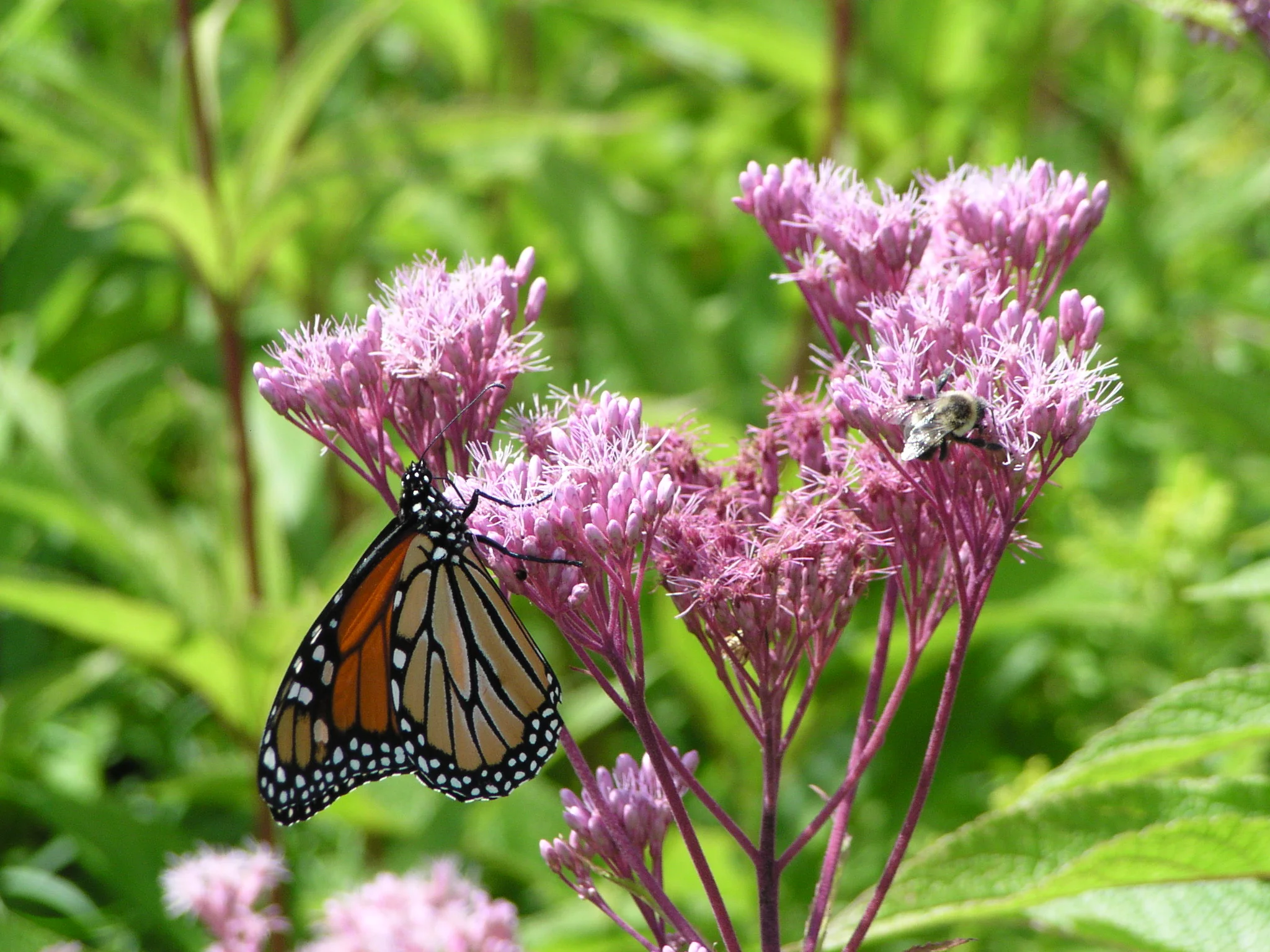
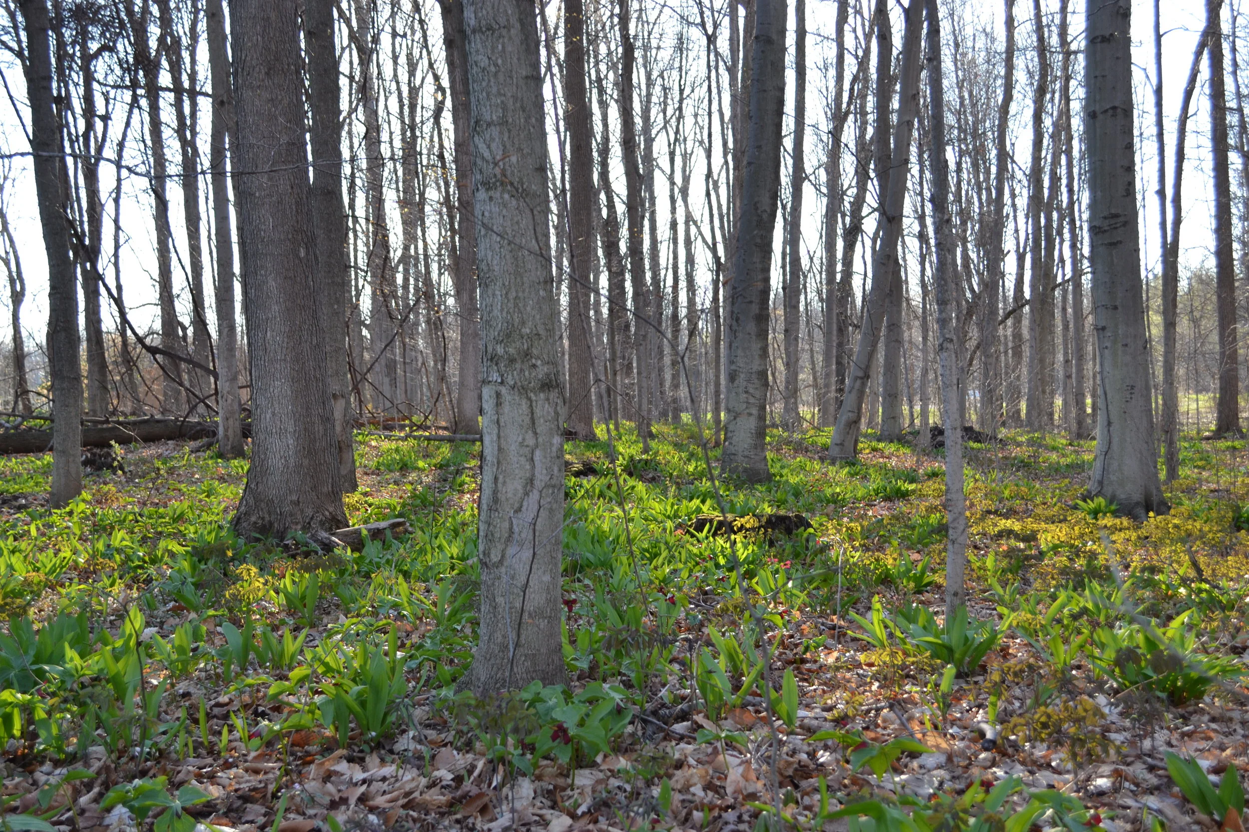
Description: This property is composed mainly of Class II wetlands, providing public benefit in the form of flood storage, water filtration, and wildlife habitat. This property is also home to silver maple-ash swamp, which is an uncommon ecological community in New York State and one of the few remaining examples in the area.
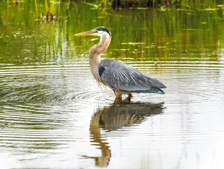
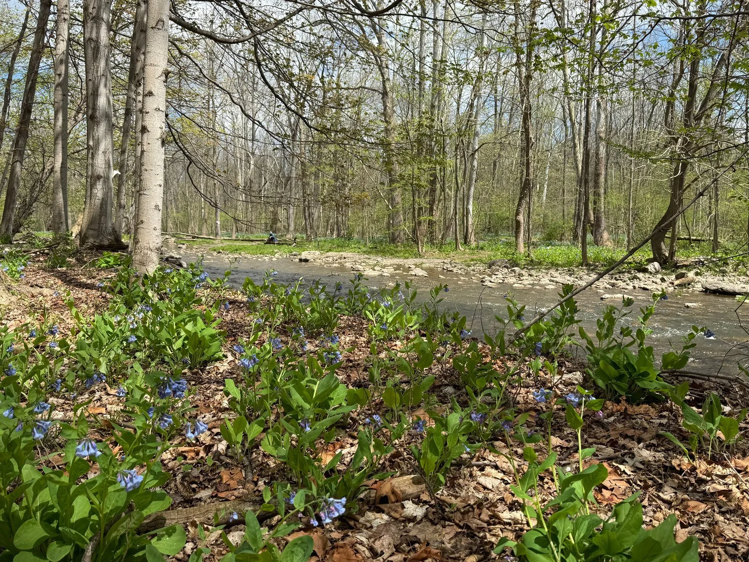
A section of Black Creek flows along the southern boundary, close to where several herons recently nested on the property. These wetland and wooded wetland habitats provide a home for fish, waterfowl, and amphibians. Upon entering around the property, you can also find evidence of beavers in the form of several gnawed off tree stumps.
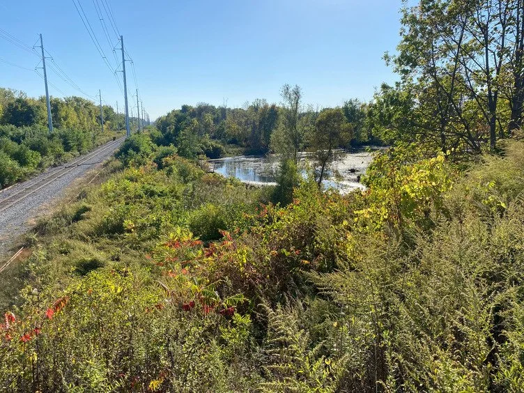
Public Access: There are no trails on the preserve. Property can be very wet year-round, though especially in the spring. This property is bordered to the east and west by active railroad tracks.
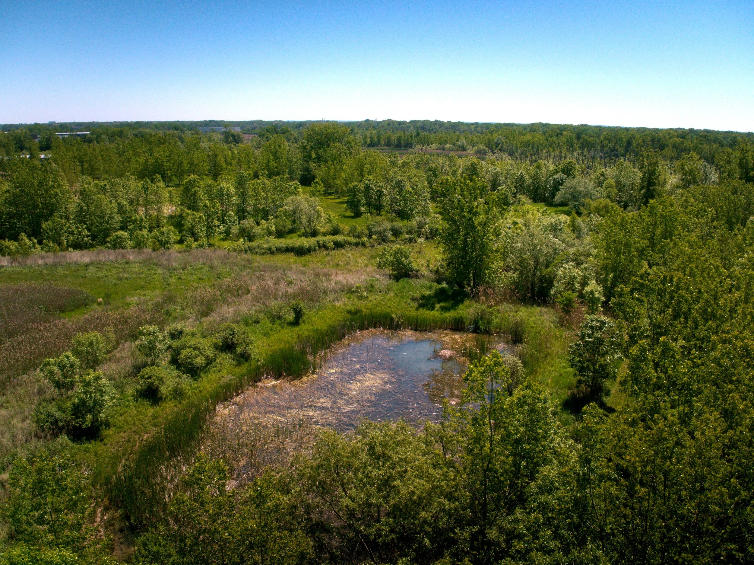
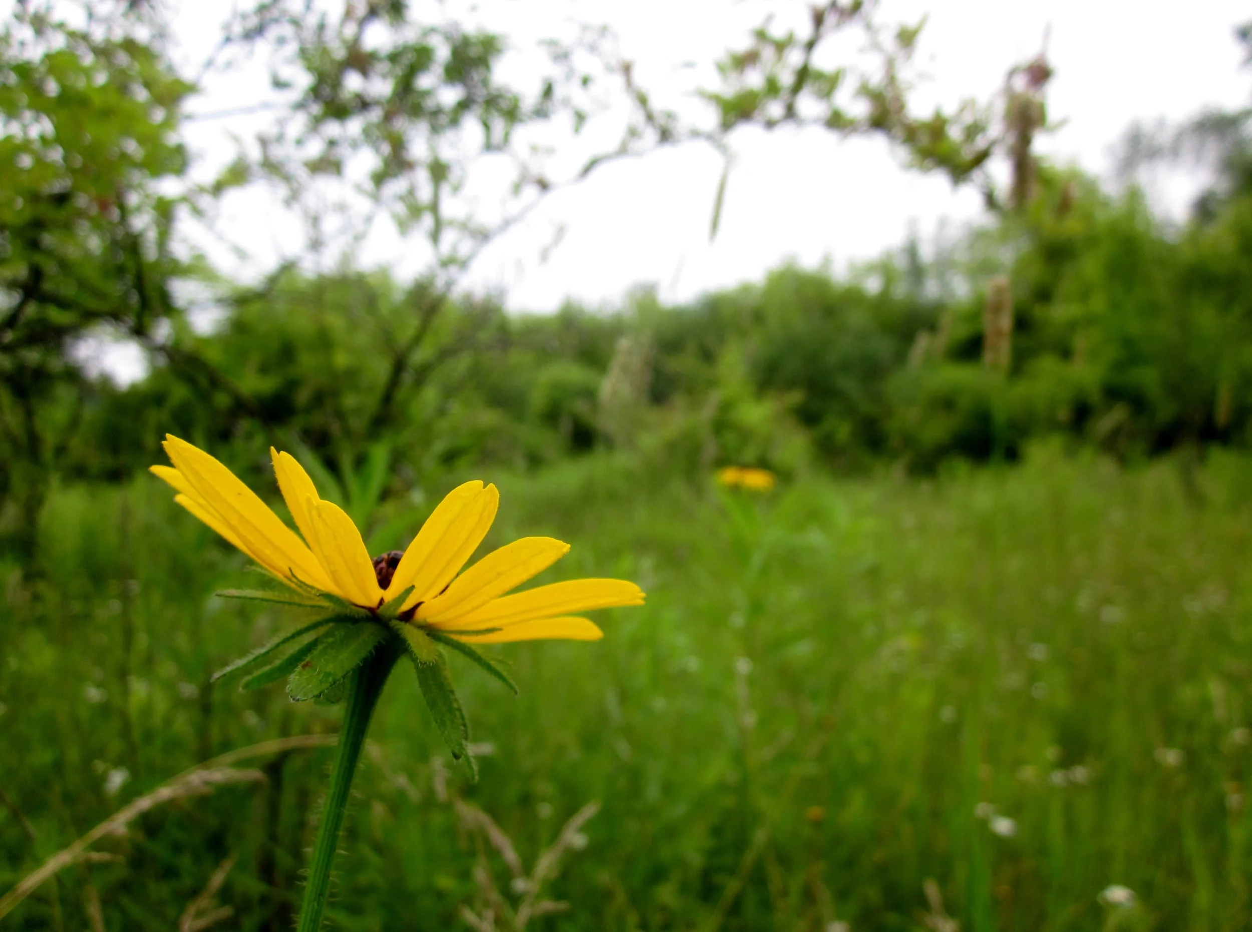
Photos by Adam Montoya, Ned Ludd, Kevin Farrell, and staff.
History: The Rochester Cornerstone Group came into ownership of 235 acres of limited industrial land in 1994 for the development of a business park. Over the course of development, they identified wetlands and created the first “wetland mitigation bank” in New York. 123 acres of this property were then donated to Genesee Land Trust in June of 2026.
Driving Directions: This preserve is south of Paul Road, just to the west of the Frederick Douglass Greater Rochester International Airport. From Rochester, go west on I-490. Take NY-204, turning west on Chili Ave and then south on Marshall Rd. Turn east on Paul Rd and finally south into Trade Ct.
Please note: while this property is open to the public, it is not accessible for recreation.
GPS Coordinates: 43.104616, -77.709128
Do you have questions or feedback? Please email us at land@geneseelandtrust.org or call (585) 256-2130.